
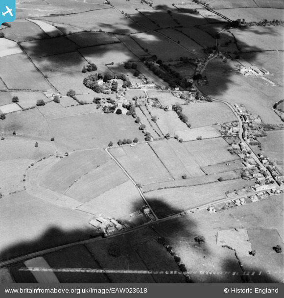
EAW023618 ENGLAND (1949). The site of Bravoniacum Roman Fort, Kirkby Thore, 1949. This image was marked by Aerofilms Ltd for photo editing.
© Copyright OpenStreetMap contributors and licensed by the OpenStreetMap Foundation. 2026. Cartography is licensed as CC BY-SA.
Nearby Images (4)
EAW023618

EAW023619

EAW023616

EAW023617

Details
| Title | [EAW023618] The site of Bravoniacum Roman Fort, Kirkby Thore, 1949. This image was marked by Aerofilms Ltd for photo editing. |
| Reference | EAW023618 |
| Date | 2-June-1949 |
| Link | |
| Place name | KIRKBY THORE |
| Parish | KIRKBY THORE |
| District | |
| Country | ENGLAND |
| Easting / Northing | 363510, 525694 |
| Longitude / Latitude | -2.5652347747069, 54.624948343363 |
| National Grid Reference | NY635257 |
Pins
Be the first to add a comment to this image!