
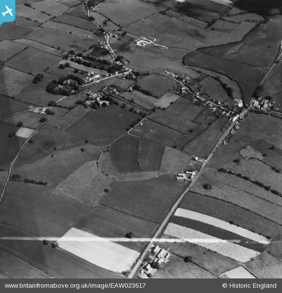
EAW023617 ENGLAND (1949). The site of Bravoniacum Roman Fort, Kirkby Thore, 1949. This image has been produced from a print marked by Aerofilms Ltd for photo editing.
© Copyright OpenStreetMap contributors and licensed by the OpenStreetMap Foundation. 2026. Cartography is licensed as CC BY-SA.
Nearby Images (4)
EAW023617

EAW023619

EAW023618

EAW023616

Details
| Title | [EAW023617] The site of Bravoniacum Roman Fort, Kirkby Thore, 1949. This image has been produced from a print marked by Aerofilms Ltd for photo editing. |
| Reference | EAW023617 |
| Date | 2-June-1949 |
| Link | |
| Place name | KIRKBY THORE |
| Parish | KIRKBY THORE |
| District | |
| Country | ENGLAND |
| Easting / Northing | 363414, 525724 |
| Longitude / Latitude | -2.566725494149, 54.625211013942 |
| National Grid Reference | NY634257 |
Pins
Be the first to add a comment to this image!