
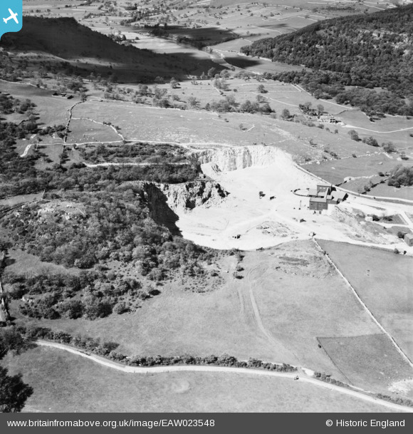
EAW023548 ENGLAND (1949). Threshfield Limestone Quarries, Threshfield, 1949
© Copyright OpenStreetMap contributors and licensed by the OpenStreetMap Foundation. 2026. Cartography is licensed as CC BY-SA.
Nearby Images (4)
EAW023548

EAW023554

EAW023547

EAW023546

Details
| Title | [EAW023548] Threshfield Limestone Quarries, Threshfield, 1949 |
| Reference | EAW023548 |
| Date | 28-May-1949 |
| Link | |
| Place name | THRESHFIELD |
| Parish | THRESHFIELD |
| District | |
| Country | ENGLAND |
| Easting / Northing | 397626, 464444 |
| Longitude / Latitude | -2.0362862733398, 54.075735625515 |
| National Grid Reference | SD976644 |
Pins
Be the first to add a comment to this image!