
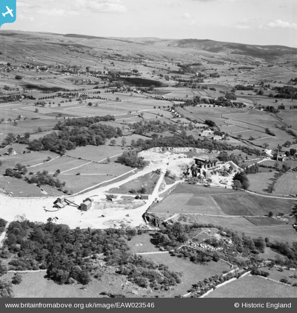
EAW023546 ENGLAND (1949). Threshfield Limestone Quarries, Threshfield, from the north-west, 1949
© Copyright OpenStreetMap contributors and licensed by the OpenStreetMap Foundation. 2026. Cartography is licensed as CC BY-SA.
Nearby Images (11)
EAW023546

EAW023547

EAW023548

EPW057366

EPW057363

EPW057365

EPW057368

EAW023555

EPW057364

EAW023554

EPW057367

Details
| Title | [EAW023546] Threshfield Limestone Quarries, Threshfield, from the north-west, 1949 |
| Reference | EAW023546 |
| Date | 28-May-1949 |
| Link | |
| Place name | THRESHFIELD |
| Parish | THRESHFIELD |
| District | |
| Country | ENGLAND |
| Easting / Northing | 397724, 464296 |
| Longitude / Latitude | -2.0347872445019, 54.074405755802 |
| National Grid Reference | SD977643 |
Pins
Be the first to add a comment to this image!