
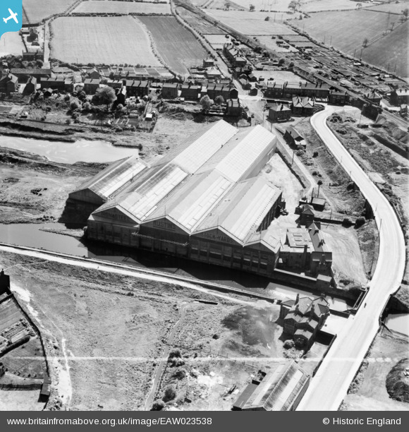
EAW023538 ENGLAND (1949). The Thornhill Iron and Steel Works, Dewsbury, 1949. This image was marked by Aerofilms Ltd for photo editing.
© Copyright OpenStreetMap contributors and licensed by the OpenStreetMap Foundation. 2026. Cartography is licensed as CC BY-SA.
Nearby Images (8)
EAW023538

EAW023539

EAW023541

EAW023540

EAW023545

EAW023542

EAW023543

EAW023544

Details
| Title | [EAW023538] The Thornhill Iron and Steel Works, Dewsbury, 1949. This image was marked by Aerofilms Ltd for photo editing. |
| Reference | EAW023538 |
| Date | 28-May-1949 |
| Link | |
| Place name | DEWSBURY |
| Parish | |
| District | |
| Country | ENGLAND |
| Easting / Northing | 423694, 419848 |
| Longitude / Latitude | -1.6412912667304, 53.674335085004 |
| National Grid Reference | SE237198 |
Pins
Be the first to add a comment to this image!