
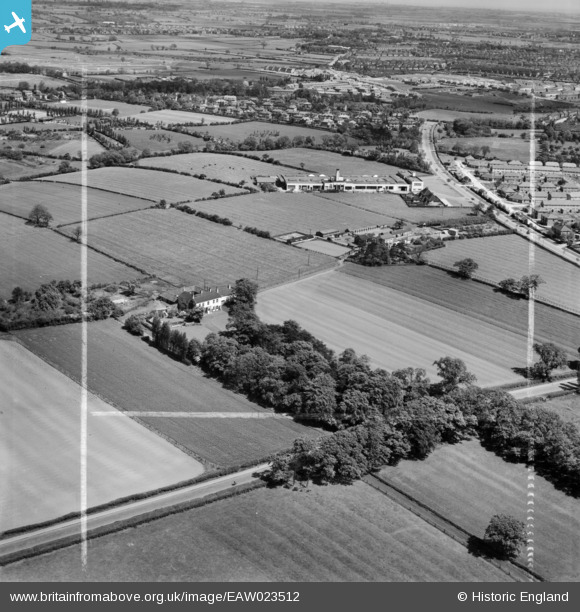
EAW023512 ENGLAND (1949). White House, White House Farm and the Daylight Bakery, Stockton-on-Tees, from the south-west, 1949. This image was marked by Aerofilms Ltd for photo editing.
© Copyright OpenStreetMap contributors and licensed by the OpenStreetMap Foundation. 2026. Cartography is licensed as CC BY-SA.
Nearby Images (9)
EAW023512

EAW020576

EAW020575

EAW023515

EAW020574

EAW020579

EAW016860

EAW020572

EAW020578

Details
| Title | [EAW023512] White House, White House Farm and the Daylight Bakery, Stockton-on-Tees, from the south-west, 1949. This image was marked by Aerofilms Ltd for photo editing. |
| Reference | EAW023512 |
| Date | 28-May-1949 |
| Link | |
| Place name | STOCKTON-ON-TEES |
| Parish | |
| District | |
| Country | ENGLAND |
| Easting / Northing | 442670, 519857 |
| Longitude / Latitude | -1.339891850077, 54.572005335444 |
| National Grid Reference | NZ427199 |
Pins
Be the first to add a comment to this image!