
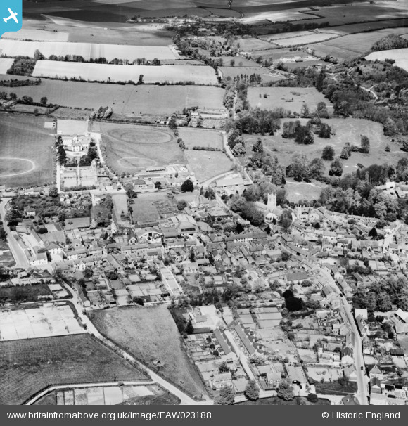
EAW023188 ENGLAND (1949). The village, Lambourn, 1949
© Copyright OpenStreetMap contributors and licensed by the OpenStreetMap Foundation. 2026. Cartography is licensed as CC BY-SA.
Nearby Images (12)
EAW023188

EAW023189

EAW023193

EPW029320

EAW023190

EPW029318

EAW023192

EAW023194

EPW029317

EAW023191

EPW029319

EPW029316

Details
| Title | [EAW023188] The village, Lambourn, 1949 |
| Reference | EAW023188 |
| Date | 6-May-1949 |
| Link | |
| Place name | LAMBOURN |
| Parish | LAMBOURN |
| District | |
| Country | ENGLAND |
| Easting / Northing | 432535, 178932 |
| Longitude / Latitude | -1.5311547989185, 51.507898093877 |
| National Grid Reference | SU325789 |
Pins

Billy Turner |
Wednesday 30th of November 2016 10:07:24 PM |
