
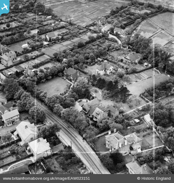
EAW023151 ENGLAND (1949). Barn House and adjacent properties on Joy Lane, Seasalter, 1949. This image was marked by Aerofilms Ltd for photo editing.
© Copyright OpenStreetMap contributors and licensed by the OpenStreetMap Foundation. 2026. Cartography is licensed as CC BY-SA.
Nearby Images (7)
EAW023151

EAW023152

EAW023150

EPW018618

EAW023149

EAW023154

EAW023153

Details
| Title | [EAW023151] Barn House and adjacent properties on Joy Lane, Seasalter, 1949. This image was marked by Aerofilms Ltd for photo editing. |
| Reference | EAW023151 |
| Date | 11-May-1949 |
| Link | |
| Place name | SEASALTER |
| Parish | |
| District | |
| Country | ENGLAND |
| Easting / Northing | 610402, 165639 |
| Longitude / Latitude | 1.021882937966, 51.35031273025 |
| National Grid Reference | TR104656 |
