
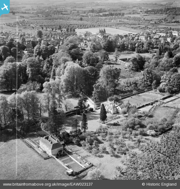
EAW023137 ENGLAND (1949). Lavenders and environs, West Malling, 1949. This image was marked by Aerofilms Ltd for photo editing.
© Copyright OpenStreetMap contributors and licensed by the OpenStreetMap Foundation. 2026. Cartography is licensed as CC BY-SA.
Nearby Images (9)
EAW023137

EAW023136

EAW017610

EAW017609

EAW023135

EAW036709

EAW017607

EAW036708

EAW036714

Details
| Title | [EAW023137] Lavenders and environs, West Malling, 1949. This image was marked by Aerofilms Ltd for photo editing. |
| Reference | EAW023137 |
| Date | 11-May-1949 |
| Link | |
| Place name | WEST MALLING |
| Parish | WEST MALLING |
| District | |
| Country | ENGLAND |
| Easting / Northing | 568172, 157481 |
| Longitude / Latitude | 0.41215855704415, 51.291085533997 |
| National Grid Reference | TQ682575 |
Pins

slumpy |
Thursday 30th of November 2023 03:47:35 PM |