
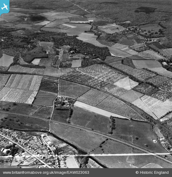
EAW023063 ENGLAND (1949). Tonford Manor Farm and surrounding orchards, Thanington, 1949. This image has been produced from a print marked by Aerofilms Ltd for photo editing.
© Copyright OpenStreetMap contributors and licensed by the OpenStreetMap Foundation. 2025. Cartography is licensed as CC BY-SA.
Nearby Images (2)
EAW023063

EAW023062

Details
| Title | [EAW023063] Tonford Manor Farm and surrounding orchards, Thanington, 1949. This image has been produced from a print marked by Aerofilms Ltd for photo editing. |
| Reference | EAW023063 |
| Date | 10-May-1949 |
| Link | |
| Place name | THANINGTON |
| Parish | THANINGTON WITHOUT |
| District | |
| Country | ENGLAND |
| Easting / Northing | 612368, 157256 |
| Longitude / Latitude | 1.0450849195685, 51.274301561349 |
| National Grid Reference | TR124573 |
Pins
Be the first to add a comment to this image!