
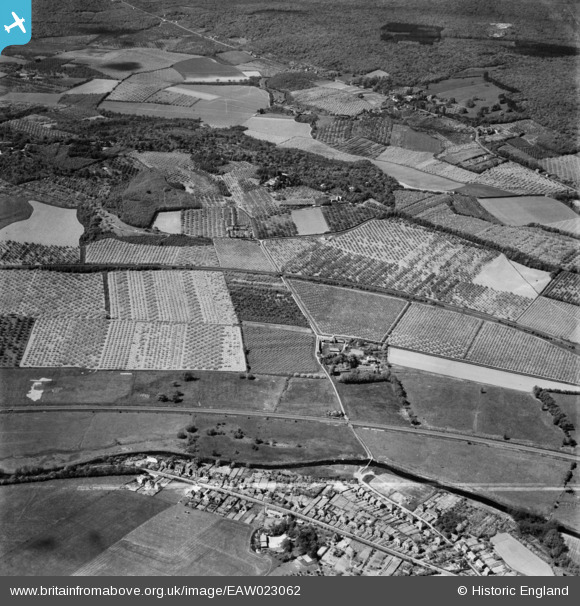
EAW023062 ENGLAND (1949). Tonford Manor Farm and surrounding orchards, Thanington, 1949
© Copyright OpenStreetMap contributors and licensed by the OpenStreetMap Foundation. 2025. Cartography is licensed as CC BY-SA.
Nearby Images (2)
EAW023062

EAW023063

Details
| Title | [EAW023062] Tonford Manor Farm and surrounding orchards, Thanington, 1949 |
| Reference | EAW023062 |
| Date | 10-May-1949 |
| Link | |
| Place name | THANINGTON |
| Parish | THANINGTON WITHOUT |
| District | |
| Country | ENGLAND |
| Easting / Northing | 612157, 157128 |
| Longitude / Latitude | 1.0419880504246, 51.273230698417 |
| National Grid Reference | TR122571 |
Pins
Be the first to add a comment to this image!