
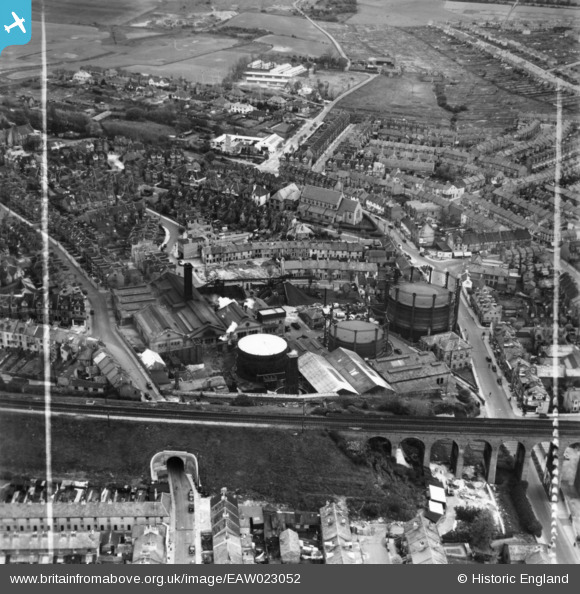
EAW023052 ENGLAND (1949). The Gas Works on Foord Road and environs, Folkestone, 1949. This image has been produced from a print marked by Aerofilms Ltd for photo editing.
© Copyright OpenStreetMap contributors and licensed by the OpenStreetMap Foundation. 2026. Cartography is licensed as CC BY-SA.
Nearby Images (6)
EAW023052

EAW023048

EAW023053

EAW023049

EAW023051

EAW023050

Details
| Title | [EAW023052] The Gas Works on Foord Road and environs, Folkestone, 1949. This image has been produced from a print marked by Aerofilms Ltd for photo editing. |
| Reference | EAW023052 |
| Date | 10-May-1949 |
| Link | |
| Place name | FOLKESTONE |
| Parish | FOLKESTONE |
| District | |
| Country | ENGLAND |
| Easting / Northing | 622559, 136522 |
| Longitude / Latitude | 1.1781343274271, 51.08423997874 |
| National Grid Reference | TR226365 |
Pins
Be the first to add a comment to this image!