
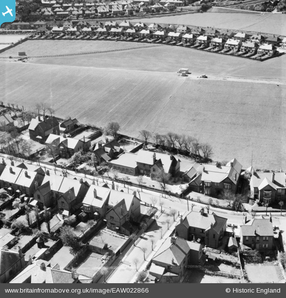
EAW022866 ENGLAND (1949). Monkseaton Grammar School on Holywell Avenue and environs, Monkseaton, 1949
© Copyright OpenStreetMap contributors and licensed by the OpenStreetMap Foundation. 2026. Cartography is licensed as CC BY-SA.
Nearby Images (3)
EAW022866

EAW022864

EAW022865

Details
| Title | [EAW022866] Monkseaton Grammar School on Holywell Avenue and environs, Monkseaton, 1949 |
| Reference | EAW022866 |
| Date | 29-April-1949 |
| Link | |
| Place name | MONKSEATON |
| Parish | |
| District | |
| Country | ENGLAND |
| Easting / Northing | 434665, 572573 |
| Longitude / Latitude | -1.4574116575562, 55.046381549063 |
| National Grid Reference | NZ347726 |
Pins

Blyth Station Lad |
Sunday 22nd of September 2024 11:59:03 AM | |
|
Blyth Station Lad |
Sunday 22nd of September 2024 11:57:21 AM | |
|
cheviotwalks |
Tuesday 14th of October 2014 06:53:36 PM | |
|
cheviotwalks |
Tuesday 14th of October 2014 06:50:44 PM | |
|
cheviotwalks |
Tuesday 14th of October 2014 06:49:35 PM | |
|
huyt |
Thursday 24th of July 2014 07:51:31 PM |