
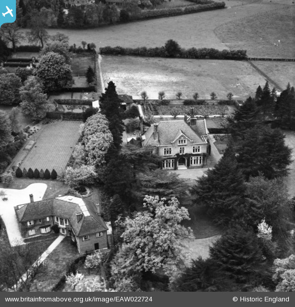
EAW022724 ENGLAND (1949). St Columba's College, St Albans, 1949. This image has been produced from a print.
© Copyright OpenStreetMap contributors and licensed by the OpenStreetMap Foundation. 2026. Cartography is licensed as CC BY-SA.
Nearby Images (7)
EAW022724

EAW022725

EAW022726

EAW022723

EAW015581

EAW015582

EAW015593

Details
| Title | [EAW022724] St Columba's College, St Albans, 1949. This image has been produced from a print. |
| Reference | EAW022724 |
| Date | 2-May-1949 |
| Link | |
| Place name | ST ALBANS |
| Parish | |
| District | |
| Country | ENGLAND |
| Easting / Northing | 514095, 206209 |
| Longitude / Latitude | -0.34728490409245, 51.742497543759 |
| National Grid Reference | TL141062 |
Pins
Be the first to add a comment to this image!