
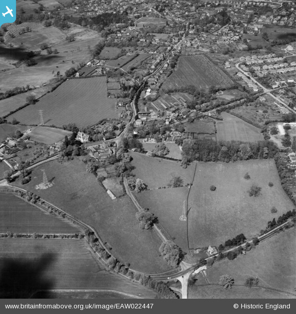
EAW022447 ENGLAND (1949). Farnborough Road, Upper Hale Road and Monkton Lane, Farnham, 1949
© Copyright OpenStreetMap contributors and licensed by the OpenStreetMap Foundation. 2026. Cartography is licensed as CC BY-SA.
Nearby Images (9)
EAW022447

EAW022445

EAW022446

EAW015548

EAW015550

EAW015547

EAW015549

EAW015551

EAW015555

Details
| Title | [EAW022447] Farnborough Road, Upper Hale Road and Monkton Lane, Farnham, 1949 |
| Reference | EAW022447 |
| Date | 22-April-1949 |
| Link | |
| Place name | FARNHAM |
| Parish | FARNHAM |
| District | |
| Country | ENGLAND |
| Easting / Northing | 485029, 148430 |
| Longitude / Latitude | -0.78211613829192, 51.228203070663 |
| National Grid Reference | SU850484 |
Pins

David A |
Wednesday 5th of November 2025 03:58:02 PM | |
|
RobinC |
Sunday 24th of August 2025 12:15:28 PM | |
|
cptpies |
Thursday 9th of April 2015 01:20:48 PM | |
|
cptpies |
Thursday 9th of April 2015 01:17:56 PM | |
|
chris_uk10 |
Saturday 4th of April 2015 04:45:57 PM | |
|
chris_uk10 |
Saturday 4th of April 2015 04:44:49 PM | |
|
Bob Paine |
Tuesday 4th of November 2014 09:36:33 AM | |
|
flubber |
Friday 13th of June 2014 07:30:14 PM | |
|
flubber |
Friday 13th of June 2014 07:28:49 PM | |
|
flubber |
Friday 13th of June 2014 07:27:30 PM | |
|
flubber |
Friday 13th of June 2014 07:26:48 PM | |
|
flubber |
Friday 13th of June 2014 07:26:02 PM | |
|
flubber |
Friday 13th of June 2014 07:24:35 PM |
User Comment Contributions

Previously unrecorded Type 24 Pillbox in Farnham Park. |
cptpies |
Thursday 9th of April 2015 01:21:55 PM |