
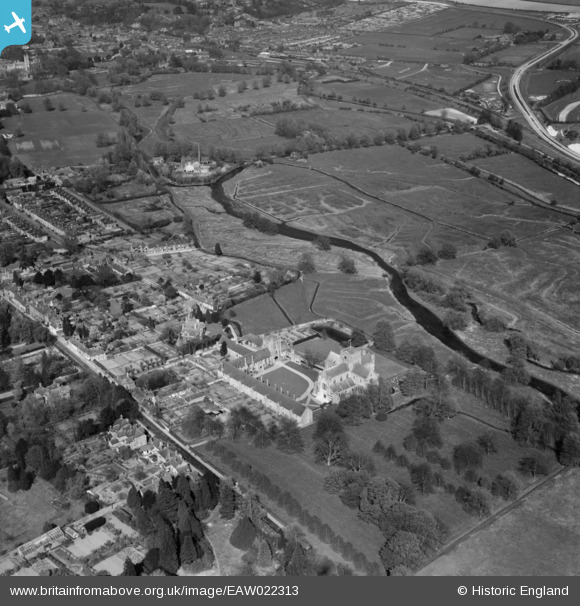
EAW022313 ENGLAND (1949). The Hospital of St Cross and environs, St Cross, 1949
© Copyright OpenStreetMap contributors and licensed by the OpenStreetMap Foundation. 2026. Cartography is licensed as CC BY-SA.
Nearby Images (4)
EAW022313

EAW022312

EPW023316

EPW023320

Details
| Title | [EAW022313] The Hospital of St Cross and environs, St Cross, 1949 |
| Reference | EAW022313 |
| Date | 18-April-1949 |
| Link | |
| Place name | ST CROSS |
| Parish | |
| District | |
| Country | ENGLAND |
| Easting / Northing | 447735, 127894 |
| Longitude / Latitude | -1.3189499568331, 51.047873929568 |
| National Grid Reference | SU477279 |
Pins
Be the first to add a comment to this image!