
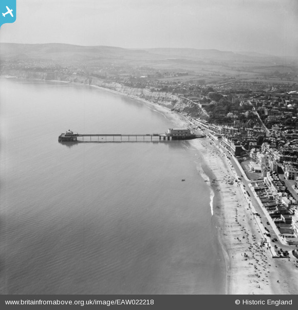
EAW022218 ENGLAND (1949). Sandown Pier, the Esplanade and the surrounding coastline, Sandown, from the north-east, 1949
© Copyright OpenStreetMap contributors and licensed by the OpenStreetMap Foundation. 2026. Cartography is licensed as CC BY-SA.
Nearby Images (6)
EAW022218

EAW038581

EPW043025

EPW023082

EPW023081

EPW039670

Details
| Title | [EAW022218] Sandown Pier, the Esplanade and the surrounding coastline, Sandown, from the north-east, 1949 |
| Reference | EAW022218 |
| Date | 17-April-1949 |
| Link | |
| Place name | SANDOWN |
| Parish | SANDOWN |
| District | |
| Country | ENGLAND |
| Easting / Northing | 460148, 84204 |
| Longitude / Latitude | -1.149047808698, 50.653825287994 |
| National Grid Reference | SZ601842 |
Pins
Be the first to add a comment to this image!