
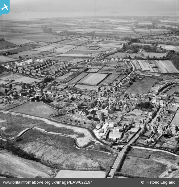
EAW022194 ENGLAND (1949). The village, Titchfield, from the east, 1949
© Copyright OpenStreetMap contributors and licensed by the OpenStreetMap Foundation. 2026. Cartography is licensed as CC BY-SA.
Nearby Images (5)
EAW022194

EAW022193

EAW022192

EAW022195

EAW022196

Details
| Title | [EAW022194] The village, Titchfield, from the east, 1949 |
| Reference | EAW022194 |
| Date | 17-April-1949 |
| Link | |
| Place name | TITCHFIELD |
| Parish | |
| District | |
| Country | ENGLAND |
| Easting / Northing | 454198, 105824 |
| Longitude / Latitude | -1.2300346965999, 50.848834927639 |
| National Grid Reference | SU542058 |


