
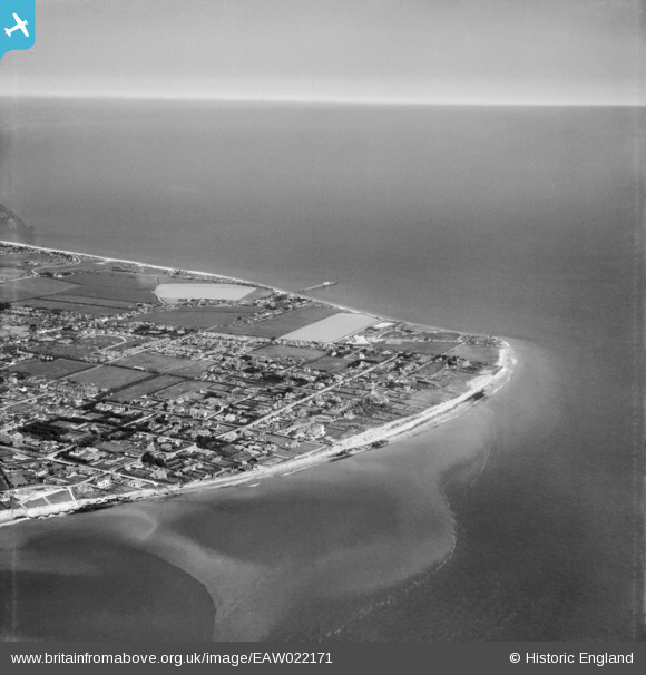
EAW022171 ENGLAND (1949). Selsey Bill and the town, Selsey, from the south-west, 1949
© Copyright OpenStreetMap contributors and licensed by the OpenStreetMap Foundation. 2026. Cartography is licensed as CC BY-SA.
Nearby Images (4)
EAW022171

EAW022174

EAW022175

EAW022172

Details
| Title | [EAW022171] Selsey Bill and the town, Selsey, from the south-west, 1949 |
| Reference | EAW022171 |
| Date | 17-May-1949 |
| Link | |
| Place name | SELSEY |
| Parish | SELSEY |
| District | |
| Country | ENGLAND |
| Easting / Northing | 484996, 92384 |
| Longitude / Latitude | -0.79569599358196, 50.724281403331 |
| National Grid Reference | SZ850924 |
Pins

Matt Aldred edob.mattaldred.com |
Tuesday 16th of September 2025 09:31:28 AM | |

DUDLEY |
Thursday 18th of May 2017 07:19:05 PM |