
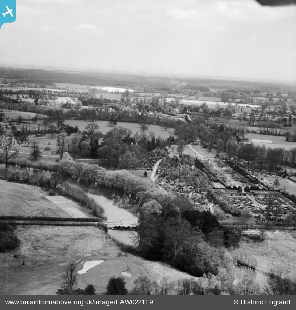
EAW022119 ENGLAND (1949). The Gardens of Remembrance and Stoke Bridge, Stoke Poges, from the west, 1949
© Copyright OpenStreetMap contributors and licensed by the OpenStreetMap Foundation. 2026. Cartography is licensed as CC BY-SA.
Nearby Images (9)
EAW022119

EPW034731

EAW022118

EAW022123

EPW034735

EPW034736

EPW034738

EPW034746

EAW022124

Details
| Title | [EAW022119] The Gardens of Remembrance and Stoke Bridge, Stoke Poges, from the west, 1949 |
| Reference | EAW022119 |
| Date | 14-April-1949 |
| Link | |
| Place name | STOKE POGES |
| Parish | STOKE POGES |
| District | |
| Country | ENGLAND |
| Easting / Northing | 497288, 182612 |
| Longitude / Latitude | -0.59721688868828, 51.533541195175 |
| National Grid Reference | SU973826 |
Pins

Magnolia |
Saturday 1st of May 2021 08:49:09 AM |