
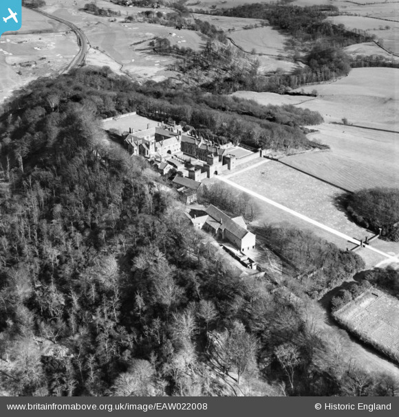
EAW022008 ENGLAND (1949). Hoghton Tower, Hoghton, 1949
© Copyright OpenStreetMap contributors and licensed by the OpenStreetMap Foundation. 2026. Cartography is licensed as CC BY-SA.
Nearby Images (7)
EAW022008

EAW022007

EPW059509

EAW022005

EPW059508

EPW059507

EAW022006

Details
| Title | [EAW022008] Hoghton Tower, Hoghton, 1949 |
| Reference | EAW022008 |
| Date | 14-April-1949 |
| Link | |
| Place name | HOGHTON |
| Parish | HOGHTON |
| District | |
| Country | ENGLAND |
| Easting / Northing | 362188, 426441 |
| Longitude / Latitude | -2.5732395482428, 53.732766807514 |
| National Grid Reference | SD622264 |
Pins

powerpop |
Wednesday 4th of March 2020 05:13:27 PM |