
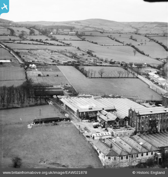
EAW021878 ENGLAND (1949). The Albert Cotton Mill and the surrounding area, Barrowford, from the south-east, 1949
© Copyright OpenStreetMap contributors and licensed by the OpenStreetMap Foundation. 2026. Cartography is licensed as CC BY-SA.
Nearby Images (8)
EAW021878

EAW021879

EAW021874

EAW021873

EAW021872

EAW021875

EAW021876

EAW021877

Details
| Title | [EAW021878] The Albert Cotton Mill and the surrounding area, Barrowford, from the south-east, 1949 |
| Reference | EAW021878 |
| Date | 8-April-1949 |
| Link | |
| Place name | BARROWFORD |
| Parish | BARROWFORD |
| District | |
| Country | ENGLAND |
| Easting / Northing | 385844, 439664 |
| Longitude / Latitude | -2.2152212548616, 53.852806557062 |
| National Grid Reference | SD858397 |
Pins
Be the first to add a comment to this image!