
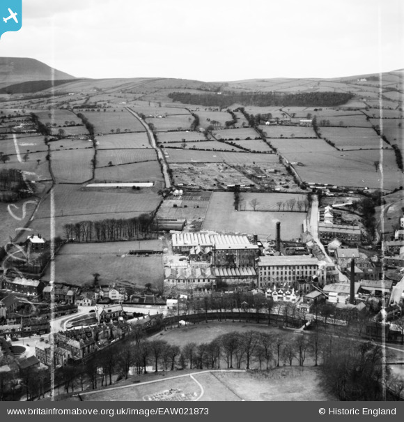
EAW021873 ENGLAND (1949). The Albert Cotton Mill, Barrowford, from the south-east, 1949. This image was marked by Aerofilms Ltd for photo editing.
© Copyright OpenStreetMap contributors and licensed by the OpenStreetMap Foundation. 2026. Cartography is licensed as CC BY-SA.
Nearby Images (8)
EAW021873

EAW021879

EAW021878

EAW021874

EAW021876

EAW021872

EAW021875

EAW021877

Details
| Title | [EAW021873] The Albert Cotton Mill, Barrowford, from the south-east, 1949. This image was marked by Aerofilms Ltd for photo editing. |
| Reference | EAW021873 |
| Date | 8-April-1949 |
| Link | |
| Place name | BARROWFORD |
| Parish | BARROWFORD |
| District | |
| Country | ENGLAND |
| Easting / Northing | 385916, 439663 |
| Longitude / Latitude | -2.2141265628372, 53.852799526322 |
| National Grid Reference | SD859397 |
Pins
Be the first to add a comment to this image!