
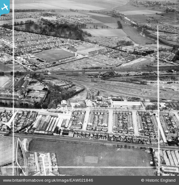
EAW021846 ENGLAND (1949). The W.H.A. Robertson & Co Ltd Lynton Engineering Works and environs, Bedford, 1949. This image was marked by Aerofilms Ltd for photo editing.
© Copyright OpenStreetMap contributors and licensed by the OpenStreetMap Foundation. 2026. Cartography is licensed as CC BY-SA.
Nearby Images (11)
EAW021846

EAW021840

EAW021849

EAW021841

EAW021848

EAW018298

EAW021842

EAW021847

EAW021844

EAW021845

EAW021843

Details
| Title | [EAW021846] The W.H.A. Robertson & Co Ltd Lynton Engineering Works and environs, Bedford, 1949. This image was marked by Aerofilms Ltd for photo editing. |
| Reference | EAW021846 |
| Date | 11-April-1949 |
| Link | |
| Place name | BEDFORD |
| Parish | |
| District | |
| Country | ENGLAND |
| Easting / Northing | 504456, 248214 |
| Longitude / Latitude | -0.47409875169789, 52.121947071712 |
| National Grid Reference | TL045482 |
Pins

Matt Aldred edob.mattaldred.com |
Thursday 7th of March 2024 05:30:34 PM | |
|
Matt Aldred edob.mattaldred.com |
Thursday 7th of March 2024 05:29:14 PM | |
|
Matt Aldred edob.mattaldred.com |
Thursday 7th of March 2024 05:27:59 PM | |

melgibbs |
Saturday 11th of January 2014 08:28:05 PM | |
|
melgibbs |
Saturday 11th of January 2014 08:27:16 PM | |
|
melgibbs |
Saturday 11th of January 2014 08:26:43 PM | |
|
melgibbs |
Saturday 11th of January 2014 08:25:48 PM | |
|
melgibbs |
Saturday 11th of January 2014 08:25:10 PM | |
|
melgibbs |
Saturday 11th of January 2014 08:24:27 PM | |
|
melgibbs |
Saturday 11th of January 2014 08:23:43 PM | |
|
melgibbs |
Saturday 11th of January 2014 08:22:54 PM |