
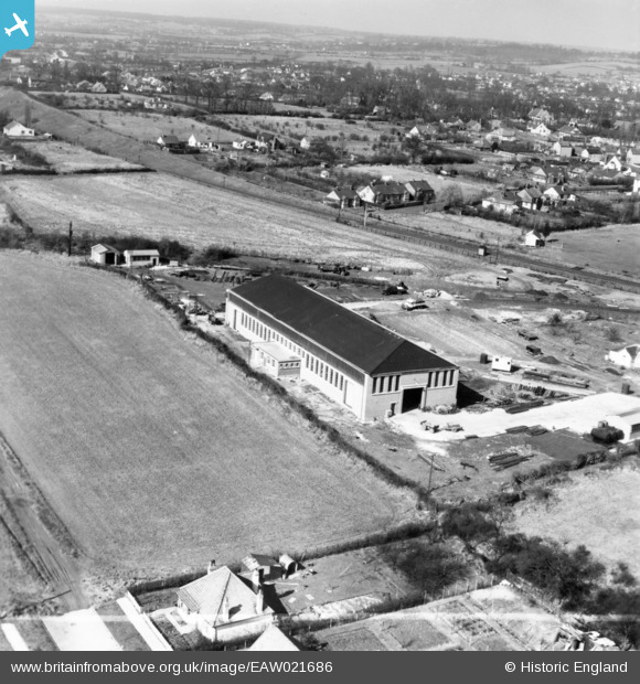
EAW021686 ENGLAND (1949). Edward Farr Ltd Engineering Works and environs, Wickford, from the east, 1949. This image has been produced from a print marked by Aerofilms Ltd for photo editing.
© Copyright OpenStreetMap contributors and licensed by the OpenStreetMap Foundation. 2026. Cartography is licensed as CC BY-SA.
Nearby Images (17)
EAW021686

EAW021693

EAW021691

EAW046622

EAW046618

EAW046616

EAW046615

EAW046620

EAW046617

EAW046621

EAW046614

EAW021692

EAW046619

EAW021687

EAW021690

EAW021689

EAW021688

Details
| Title | [EAW021686] Edward Farr Ltd Engineering Works and environs, Wickford, from the east, 1949. This image has been produced from a print marked by Aerofilms Ltd for photo editing. |
| Reference | EAW021686 |
| Date | 24-March-1949 |
| Link | |
| Place name | WICKFORD |
| Parish | SHOTGATE |
| District | |
| Country | ENGLAND |
| Easting / Northing | 575991, 193023 |
| Longitude / Latitude | 0.54187473085853, 51.608024564473 |
| National Grid Reference | TQ760930 |
Pins

Chris Booty |
Thursday 21st of February 2019 04:45:45 PM |