
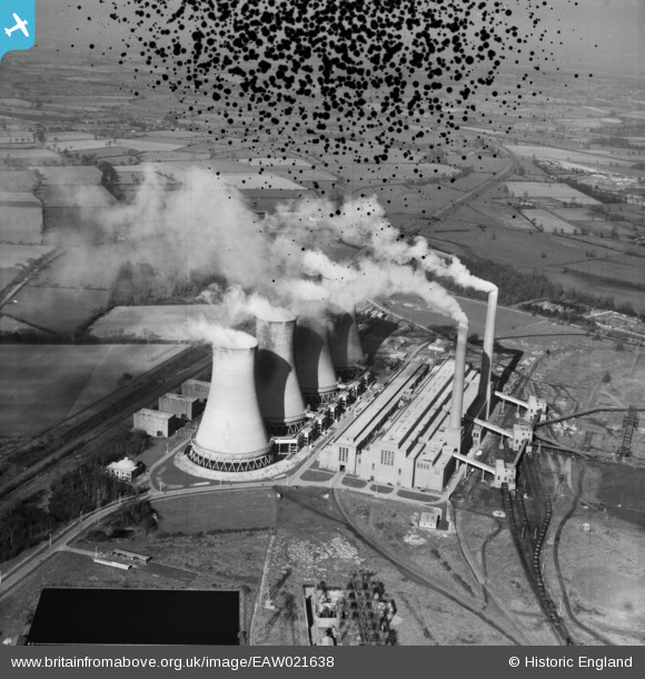
EAW021638 ENGLAND (1949). Hams Hall Power Station B, Lea Marston, 1949. This image has been produced from a damaged negative.
© Copyright OpenStreetMap contributors and licensed by the OpenStreetMap Foundation. 2026. Cartography is licensed as CC BY-SA.
Nearby Images (4)
EAW021638

EAW021636

EAW021635

EAW021637

Details
| Title | [EAW021638] Hams Hall Power Station B, Lea Marston, 1949. This image has been produced from a damaged negative. |
| Reference | EAW021638 |
| Date | 25-March-1949 |
| Link | |
| Place name | LEA MARSTON |
| Parish | LEA MARSTON |
| District | |
| Country | ENGLAND |
| Easting / Northing | 420017, 292525 |
| Longitude / Latitude | -1.7048966004846, 52.529862612417 |
| National Grid Reference | SP200925 |
Pins
Be the first to add a comment to this image!