
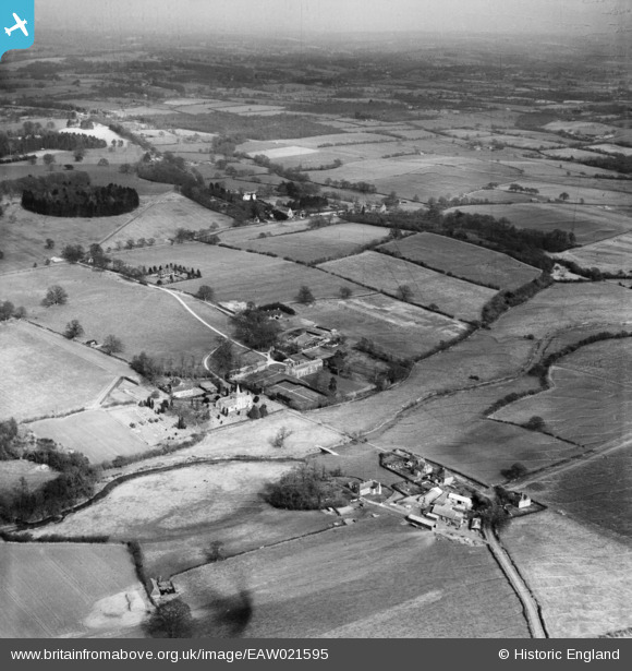
EAW021595 ENGLAND (1949). The village, West Grinstead, from the south-west, 1949
© Copyright OpenStreetMap contributors and licensed by the OpenStreetMap Foundation. 2026. Cartography is licensed as CC BY-SA.
Nearby Images (2)
EAW021595

EAW021593

Details
| Title | [EAW021595] The village, West Grinstead, from the south-west, 1949 |
| Reference | EAW021595 |
| Date | 21-March-1949 |
| Link | |
| Place name | WEST GRINSTEAD |
| Parish | WEST GRINSTEAD |
| District | |
| Country | ENGLAND |
| Easting / Northing | 517065, 120585 |
| Longitude / Latitude | -0.33247184126618, 50.97222350528 |
| National Grid Reference | TQ171206 |
Pins
Be the first to add a comment to this image!