
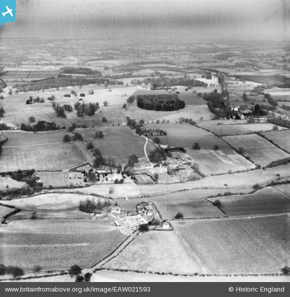
EAW021593 ENGLAND (1949). The village and the surrounding countryside, West Grinstead, from the south, 1949. This image has been produced from a damaged print.
© Copyright OpenStreetMap contributors and licensed by the OpenStreetMap Foundation. 2026. Cartography is licensed as CC BY-SA.
Nearby Images (2)
EAW021593

EAW021595

Details
| Title | [EAW021593] The village and the surrounding countryside, West Grinstead, from the south, 1949. This image has been produced from a damaged print. |
| Reference | EAW021593 |
| Date | 21-March-1949 |
| Link | |
| Place name | WEST GRINSTEAD |
| Parish | WEST GRINSTEAD |
| District | |
| Country | ENGLAND |
| Easting / Northing | 517100, 120535 |
| Longitude / Latitude | -0.33198961554794, 50.971766913392 |
| National Grid Reference | TQ171205 |
