
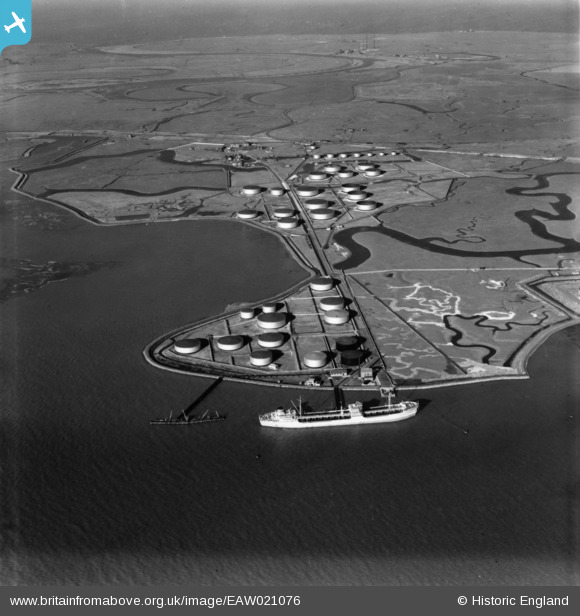
EAW021076 ENGLAND (1949). Elphinstone Point, Isle of Grain, 1949. This image has been produced from a print.
© Copyright OpenStreetMap contributors and licensed by the OpenStreetMap Foundation. 2026. Cartography is licensed as CC BY-SA.
Nearby Images (12)
EAW021076

EAW039845

EPW013209

EAW039844

EPW013213

EPW013204

EAW045773

EAW045756

EAW039846

EPW013216

EAW045755

EAW034848

Details
| Title | [EAW021076] Elphinstone Point, Isle of Grain, 1949. This image has been produced from a print. |
| Reference | EAW021076 |
| Date | 16-February-1949 |
| Link | |
| Place name | ISLE OF GRAIN |
| Parish | ISLE OF GRAIN |
| District | |
| Country | ENGLAND |
| Easting / Northing | 586089, 174185 |
| Longitude / Latitude | 0.67760545684827, 51.435563405076 |
| National Grid Reference | TQ861742 |
