
EAW021041 ENGLAND (1949). Langleys, Great Waltham, 1949

© Copyright OpenStreetMap contributors and licensed by the OpenStreetMap Foundation. 2026. Cartography is licensed as CC BY-SA.
Nearby Images (4)
EAW021041

EAW021046

EAW021045

EAW021042

Details
| Title | [EAW021041] Langleys, Great Waltham, 1949 |
| Reference | EAW021041 |
| Date | 16-February-1949 |
| Link | |
| Place name | GREAT WALTHAM |
| Parish | GREAT WALTHAM |
| District | |
| Country | ENGLAND |
| Easting / Northing | 569920, 213628 |
| Longitude / Latitude | 0.46432024038734, 51.795002946677 |
| National Grid Reference | TL699136 |
Pins

Matt Aldred edob.mattaldred.com |
Saturday 29th of January 2022 10:08:08 PM | |
|
Matt Aldred edob.mattaldred.com |
Saturday 21st of September 2019 07:05:50 PM | |
|
Matt Aldred edob.mattaldred.com |
Saturday 21st of September 2019 07:04:59 PM | |
|
Matt Aldred edob.mattaldred.com |
Saturday 21st of September 2019 07:03:48 PM |
User Comment Contributions
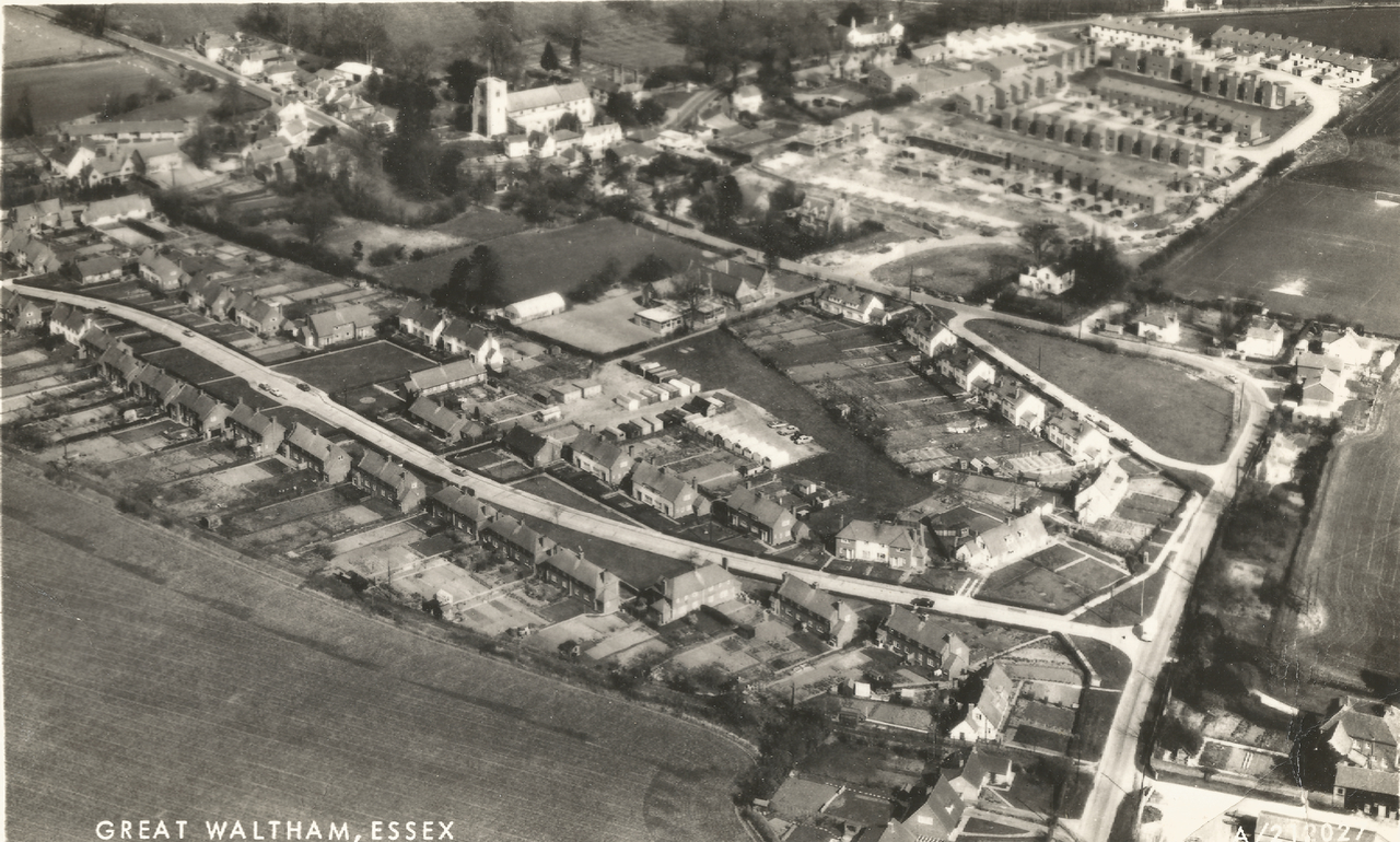
The nearby village of Great Waltham is seen in this image (Aerofilms A/212027). Not sure of the date. |

Tim |
Sunday 24th of January 2016 07:21:36 AM |