
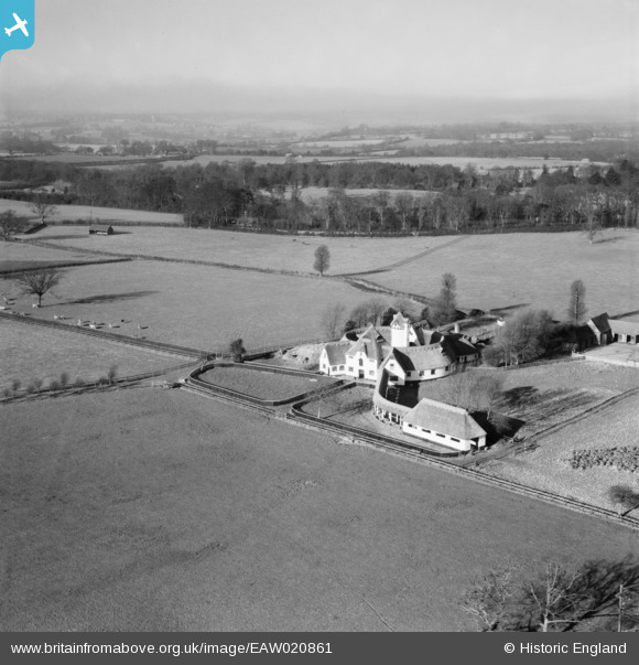
EAW020861 ENGLAND (1949). The bfa_img Court, Driver's End, from the south-east, 1949
© Copyright OpenStreetMap contributors and licensed by the OpenStreetMap Foundation. 2025. Cartography is licensed as CC BY-SA.
Nearby Images (2)
EAW020861

EAW020862

Details
| Title | [EAW020861] The bfa_img Court, Driver's End, from the south-east, 1949 |
| Reference | EAW020861 |
| Date | 2-February-1949 |
| Link | |
| Place name | DRIVER'S END |
| Parish | CODICOTE |
| District | |
| Country | ENGLAND |
| Easting / Northing | 522067, 219740 |
| Longitude / Latitude | -0.22709926244319, 51.86243062132 |
| National Grid Reference | TL221197 |
Pins
Be the first to add a comment to this image!