
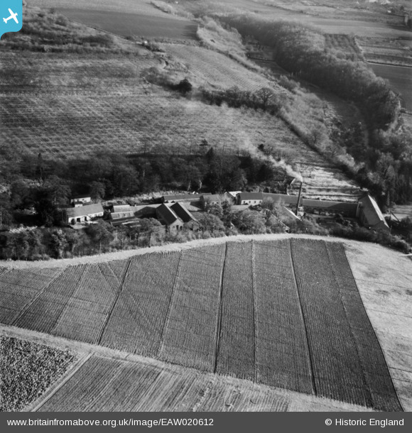
EAW020612 ENGLAND (1948). Basted Paper Mills and the surrounding countryside, Basted, 1948
© Copyright OpenStreetMap contributors and licensed by the OpenStreetMap Foundation. 2026. Cartography is licensed as CC BY-SA.
Nearby Images (21)
EAW020612

EAW020604

EAW014296

EAW014298

EAW020605

EAW014302

EAW020606

EAW020609

EAW014300

EAW020603

EAW020602

EAW014297

EAW014303

EAW020613

EAW020601

EAW014301

EAW020608

EAW014299

EAW020610

EAW020607

EAW020611

Details
| Title | [EAW020612] Basted Paper Mills and the surrounding countryside, Basted, 1948 |
| Reference | EAW020612 |
| Date | 8-December-1948 |
| Link | |
| Place name | BASTED |
| Parish | PLATT |
| District | |
| Country | ENGLAND |
| Easting / Northing | 560743, 155973 |
| Longitude / Latitude | 0.30501737350417, 51.279681093967 |
| National Grid Reference | TQ607560 |
Pins
Be the first to add a comment to this image!