
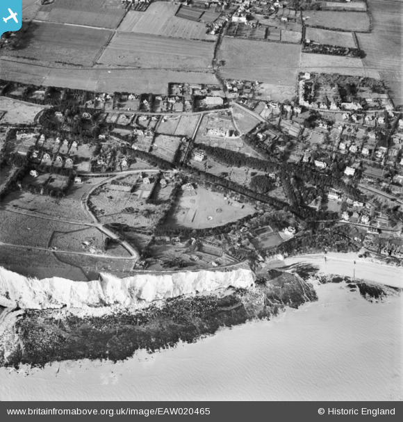
EAW020465 ENGLAND (1948). St Margaret's Road and environs, St Margaret's at Cliffe, 1948
© Copyright OpenStreetMap contributors and licensed by the OpenStreetMap Foundation. 2026. Cartography is licensed as CC BY-SA.
Nearby Images (5)
EAW020465

EPW000673

EPW035424

EPW035423

EPW035425

Details
| Title | [EAW020465] St Margaret's Road and environs, St Margaret's at Cliffe, 1948 |
| Reference | EAW020465 |
| Date | 9-November-1948 |
| Link | |
| Place name | ST MARGARET'S AT CLIFFE |
| Parish | ST. MARGARET'S AT CLIFFE |
| District | |
| Country | ENGLAND |
| Easting / Northing | 636581, 144244 |
| Longitude / Latitude | 1.3830703499651, 51.14795348119 |
| National Grid Reference | TR366442 |
Pins
Be the first to add a comment to this image!