
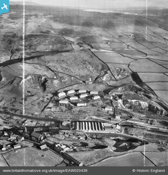
EAW020438 ENGLAND (1948). Sladen Wood Cotton Mill and environs, Calderbrook, from the west, 1948. This image was marked by Aerofilms Ltd for photo editing.
© Copyright OpenStreetMap contributors and licensed by the OpenStreetMap Foundation. 2025. Cartography is licensed as CC BY-SA.
Nearby Images (9)
EAW020438

EAW020436

EAW020440

EAW020437

EAW020442

EAW020439

EAW020441

EAW020443

EAW020432

Details
| Title | [EAW020438] Sladen Wood Cotton Mill and environs, Calderbrook, from the west, 1948. This image was marked by Aerofilms Ltd for photo editing. |
| Reference | EAW020438 |
| Date | 8-December-1948 |
| Link | |
| Place name | CALDERBROOK |
| Parish | |
| District | |
| Country | ENGLAND |
| Easting / Northing | 394679, 418237 |
| Longitude / Latitude | -2.0805290111071, 53.660363553822 |
| National Grid Reference | SD947182 |
Pins
Be the first to add a comment to this image!