
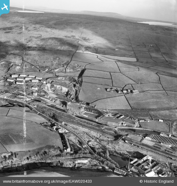
EAW020433 ENGLAND (1948). Rock Nook Cotton Mill and environs, Calderbrook, from the south-west, 1948. This image was marked by Aerofilms Ltd for photo editing.
© Copyright OpenStreetMap contributors and licensed by the OpenStreetMap Foundation. 2025. Cartography is licensed as CC BY-SA.
Nearby Images (13)
EAW020433

EAW020431

EAW020435

EAW020429

EAW020434

EAW020419

EAW020432

EAW020430

EAW020422

EAW020423

EAW020426

EAW020417

EAW020418

Details
| Title | [EAW020433] Rock Nook Cotton Mill and environs, Calderbrook, from the south-west, 1948. This image was marked by Aerofilms Ltd for photo editing. |
| Reference | EAW020433 |
| Date | 8-November-1948 |
| Link | |
| Place name | CALDERBROOK |
| Parish | |
| District | |
| Country | ENGLAND |
| Easting / Northing | 394593, 417894 |
| Longitude / Latitude | -2.0818245783064, 53.657279371388 |
| National Grid Reference | SD946179 |
Pins
Be the first to add a comment to this image!