
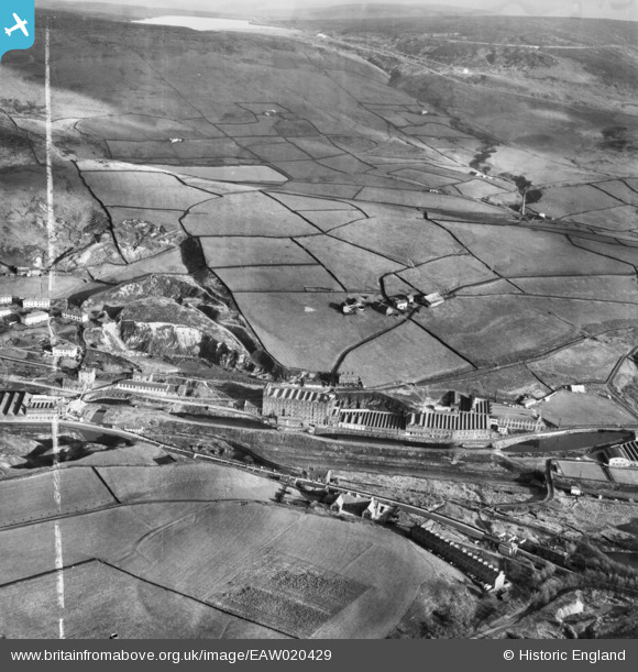
EAW020429 ENGLAND (1948). Rock Nook Cotton Mill and environs, Calderbrook, from the west, 1948. This image was marked by Aerofilms Ltd for photo editing.
© Copyright OpenStreetMap contributors and licensed by the OpenStreetMap Foundation. 2025. Cartography is licensed as CC BY-SA.
Nearby Images (15)
EAW020429

EAW020432

EAW020433

EAW020435

EAW020431

EAW020434

EAW020430

EAW020419

EAW020443

EAW020442

EAW020436

EAW020440

EAW020422

EAW020423

EAW020426

Details
| Title | [EAW020429] Rock Nook Cotton Mill and environs, Calderbrook, from the west, 1948. This image was marked by Aerofilms Ltd for photo editing. |
| Reference | EAW020429 |
| Date | 8-November-1948 |
| Link | |
| Place name | CALDERBROOK |
| Parish | |
| District | |
| Country | ENGLAND |
| Easting / Northing | 394623, 417975 |
| Longitude / Latitude | -2.0813719885778, 53.658007807162 |
| National Grid Reference | SD946180 |
Pins

batfink123 |
Friday 20th of June 2014 09:46:05 PM |