
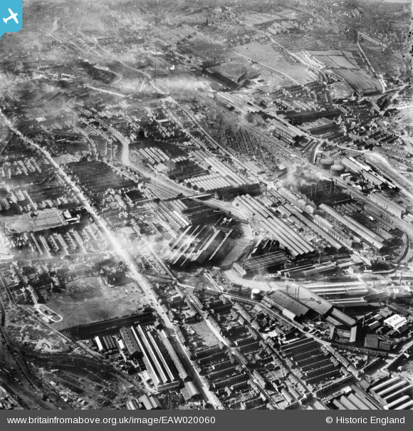
EAW020060 ENGLAND (1948). The English Steel Corporation River Don Steel Works and environs, Brightside, 1948
© Copyright OpenStreetMap contributors and licensed by the OpenStreetMap Foundation. 2026. Cartography is licensed as CC BY-SA.
Nearby Images (24)
EAW020060

EAW018783

EAW022027

EAW018782

EAW020061

EAW026010

EAW026019

EAW026021

EAW018781

EAW018784

EPW007788

EAW020054

EAW026012

EAW018786

EAW022028

EAW022025

EAW026014

EAW018785

EAW026015

EAW026013

EAW020057

EPW007785

EPW007789

EAW022024

Details
| Title | [EAW020060] The English Steel Corporation River Don Steel Works and environs, Brightside, 1948 |
| Reference | EAW020060 |
| Date | 19-October-1948 |
| Link | |
| Place name | BRIGHTSIDE |
| Parish | |
| District | |
| Country | ENGLAND |
| Easting / Northing | 438385, 389895 |
| Longitude / Latitude | -1.4225665052516, 53.404216675949 |
| National Grid Reference | SK384899 |

