
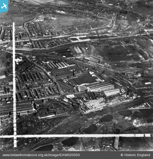
EAW020050 ENGLAND (1948). The Staybrite Steel Works and environs, Tinsley, 1948. This image has been produced from a print marked by Aerofilms Ltd for photo editing.
© Copyright OpenStreetMap contributors and licensed by the OpenStreetMap Foundation. 2026. Cartography is licensed as CC BY-SA.
Nearby Images (25)
EAW020050

EPW041541

EPW041543

EAW018763

EAW020042

EAW020052

EPW041545

EAW020051

EAW020045

EPW041540

EAW020047

EPW041542

EPW041544

EAW020043

EAW018761

EAW018759

EAW020044

EAW018762

EAW020048

EAW018760

EAW020049

EAW018798

EAW018799

EPW061486

EPW061482

Details
| Title | [EAW020050] The Staybrite Steel Works and environs, Tinsley, 1948. This image has been produced from a print marked by Aerofilms Ltd for photo editing. |
| Reference | EAW020050 |
| Date | 19-October-1948 |
| Link | |
| Place name | TINSLEY |
| Parish | |
| District | |
| Country | ENGLAND |
| Easting / Northing | 439121, 390410 |
| Longitude / Latitude | -1.4114314449152, 53.408792029561 |
| National Grid Reference | SK391904 |
Pins
Be the first to add a comment to this image!