
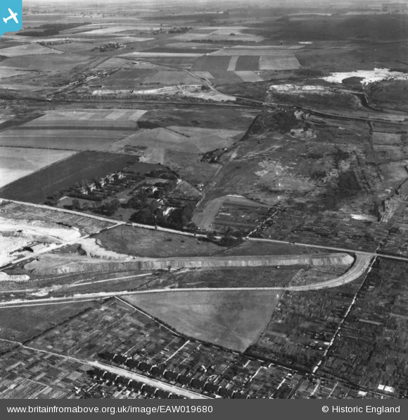
EAW019680 ENGLAND (1948). Park Farm Road, Normanby Road and environs, Scunthorpe, 1948. This image has been produced from a print.
© Copyright OpenStreetMap contributors and licensed by the OpenStreetMap Foundation. 2026. Cartography is licensed as CC BY-SA.
Nearby Images (5)
EAW019680

EAW009416

EAW021145
, Scunthorpe, from the south-east, 1949. This image has been produced from a damaged negative.")
EAW021144
, Scunthorpe, from the south-east, 1949. This image has been produced from a damaged negative.")
EAW028558

Details
| Title | [EAW019680] Park Farm Road, Normanby Road and environs, Scunthorpe, 1948. This image has been produced from a print. |
| Reference | EAW019680 |
| Date | 5-October-1948 |
| Link | |
| Place name | SCUNTHORPE |
| Parish | |
| District | |
| Country | ENGLAND |
| Easting / Northing | 489406, 412955 |
| Longitude / Latitude | -0.64863724126868, 53.60527956241 |
| National Grid Reference | SE894130 |
Pins
 |

redmist |
Friday 1st of February 2019 12:02:58 AM |