
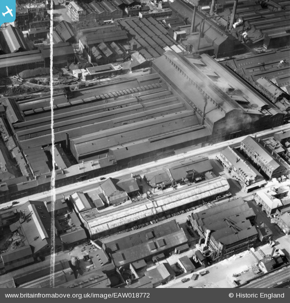
EAW018772 ENGLAND (1948). The Firth-Vickers Stainless Steels Ltd Works on Savile Street East, Burngreave, 1948. This image was marked by Aerofilms Ltd for photo editing.
© Copyright OpenStreetMap contributors and licensed by the OpenStreetMap Foundation. 2026. Cartography is licensed as CC BY-SA.
Nearby Images (39)
EAW018772

EAW018773

EAW020091

EAW018775

EAW009664

EAW009666

EAW009661

EAW018779

EAW018771

EAW009655

EAW018778

EAW018776

EAW018777

EAW020088

EAW020089

EAW020095

EAW009667

EAW009642

EAW018803

EAW020090

EAW020092

EAW009645

EAW018774

EAW020094

EAW009651

EAW009663

EAW018804

EAW018802
, Burngreave, 1948. This image has been produced from a damaged negative.")
EAW009665

EAW009662

EAW009652

EAW009647

EAW020093

EAW009640

EAW009660

EAW009649

EAW009657

EAW009641

EAW009656

Details
| Title | [EAW018772] The Firth-Vickers Stainless Steels Ltd Works on Savile Street East, Burngreave, 1948. This image was marked by Aerofilms Ltd for photo editing. |
| Reference | EAW018772 |
| Date | 21-September-1948 |
| Link | |
| Place name | BURNGREAVE |
| Parish | |
| District | |
| Country | ENGLAND |
| Easting / Northing | 436813, 388600 |
| Longitude / Latitude | -1.4463643055175, 53.392687669873 |
| National Grid Reference | SK368886 |
Pins

Class31 |
Thursday 30th of July 2015 03:29:36 PM |