
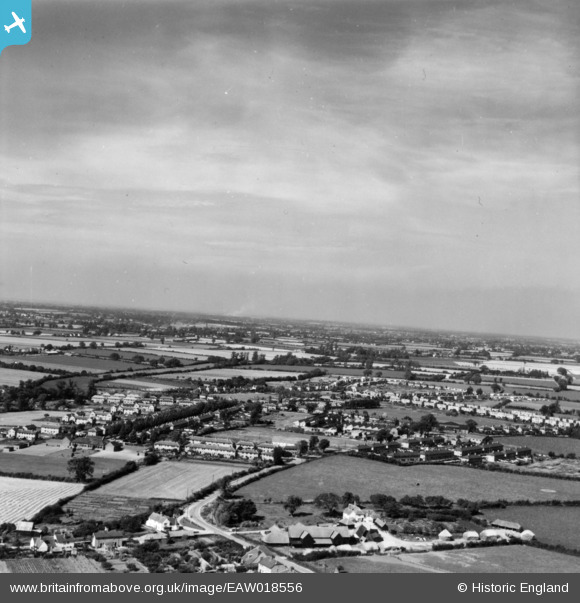
EAW018556 ENGLAND (1948). The village and environs, Silver End, from the east, 1948. This image has been produced from a print.
© Copyright OpenStreetMap contributors and licensed by the OpenStreetMap Foundation. 2026. Cartography is licensed as CC BY-SA.
Nearby Images (7)
EAW018556

EAW018553

EPW022361

EAW018555

EAW018561

EAW018558

EAW018557

Details
| Title | [EAW018556] The village and environs, Silver End, from the east, 1948. This image has been produced from a print. |
| Reference | EAW018556 |
| Date | 9-September-1948 |
| Link | |
| Place name | SILVER END |
| Parish | SILVER END |
| District | |
| Country | ENGLAND |
| Easting / Northing | 580994, 219545 |
| Longitude / Latitude | 0.6278404735388, 51.844678937667 |
| National Grid Reference | TL810195 |
Pins

Stephen Mirrington |
Wednesday 8th of October 2025 04:19:56 PM |