
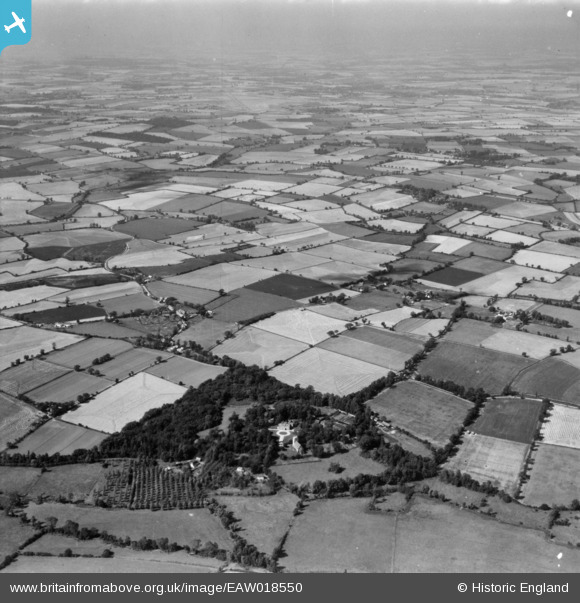
EAW018550 ENGLAND (1948). Belchamp Hall, St Mary's Church and the surrounding countryside, Belchamp Walter, from the east, 1948. This image has been produced from a print.
© Copyright OpenStreetMap contributors and licensed by the OpenStreetMap Foundation. 2025. Cartography is licensed as CC BY-SA.
Nearby Images (3)
EAW018550

EAW018548

EAW018547

Details
| Title | [EAW018550] Belchamp Hall, St Mary's Church and the surrounding countryside, Belchamp Walter, from the east, 1948. This image has been produced from a print. |
| Reference | EAW018550 |
| Date | 9-September-1948 |
| Link | |
| Place name | BELCHAMP WALTER |
| Parish | BELCHAMP WALTER |
| District | |
| Country | ENGLAND |
| Easting / Northing | 582422, 240734 |
| Longitude / Latitude | 0.65978918488313, 52.034537549866 |
| National Grid Reference | TL824407 |
Pins

Graham Yaxley |
Monday 26th of January 2015 06:02:04 PM |