
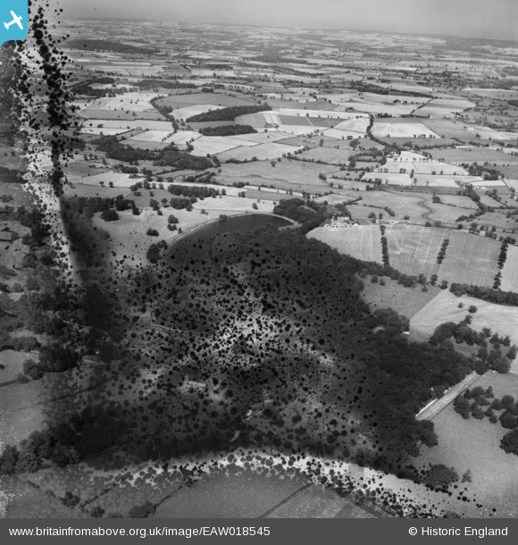
EAW018545 ENGLAND (1948). Blickling Park, Blickling, from the south, 1948. This image has been produced from a damaged negative.
© Copyright OpenStreetMap contributors and licensed by the OpenStreetMap Foundation. 2026. Cartography is licensed as CC BY-SA.
Nearby Images (14)
EAW018545

EAW051633

EPW039268

EAW051630

EAW018541

EPW021296A

EPW039265

EPW039266

EAW051632

EAW051629

EAW018543

EAW018540

EPW039267

EAW018542

Details
| Title | [EAW018545] Blickling Park, Blickling, from the south, 1948. This image has been produced from a damaged negative. |
| Reference | EAW018545 |
| Date | 9-September-1948 |
| Link | |
| Place name | BLICKLING |
| Parish | BLICKLING |
| District | |
| Country | ENGLAND |
| Easting / Northing | 617897, 328824 |
| Longitude / Latitude | 1.2336322107799, 52.812523110841 |
| National Grid Reference | TG179288 |
Pins
Be the first to add a comment to this image!