
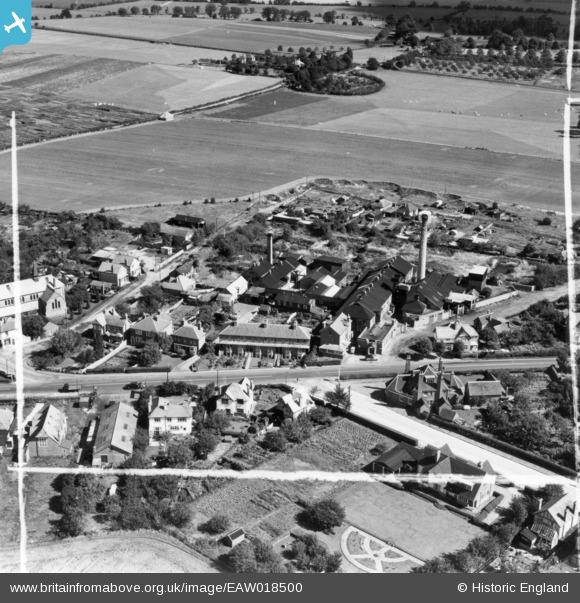
EAW018500 ENGLAND (1948). The Maidenhead District Laundry and environs, Furze Platt, 1948. This image has been produced from a print marked by Aerofilms Ltd for photo editing.
© Copyright OpenStreetMap contributors and licensed by the OpenStreetMap Foundation. 2025. Cartography is licensed as CC BY-SA.
Nearby Images (9)
EAW018500

EAW018494

EAW018501

EAW018493

EAW018499

EAW018495

EAW018498

EAW018497

EAW018496

Details
| Title | [EAW018500] The Maidenhead District Laundry and environs, Furze Platt, 1948. This image has been produced from a print marked by Aerofilms Ltd for photo editing. |
| Reference | EAW018500 |
| Date | 6-October-1948 |
| Link | |
| Place name | FURZE PLATT |
| Parish | |
| District | |
| Country | ENGLAND |
| Easting / Northing | 487729, 182546 |
| Longitude / Latitude | -0.73502521076796, 51.534514587235 |
| National Grid Reference | SU877825 |
Pins

Gardner |
Tuesday 30th of May 2023 01:57:10 PM | |
|
Gardner |
Tuesday 30th of May 2023 01:56:15 PM | |
|
Gardner |
Tuesday 30th of May 2023 01:53:30 PM | |
|
Gardner |
Tuesday 30th of May 2023 01:52:36 PM | |
|
Gardner |
Tuesday 30th of May 2023 01:51:20 PM | |
|
Gardner |
Tuesday 30th of May 2023 01:50:26 PM | |
|
Gardner |
Tuesday 30th of May 2023 01:49:58 PM |