
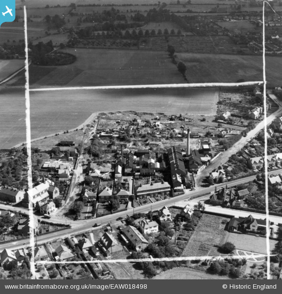
EAW018498 ENGLAND (1948). The Maidenhead District Laundry and environs, Furze Platt, 1948. This image has been produced from a print marked by Aerofilms for photo editing.
© Copyright OpenStreetMap contributors and licensed by the OpenStreetMap Foundation. 2025. Cartography is licensed as CC BY-SA.
Nearby Images (9)
EAW018498

EAW018495

EAW018500

EAW018493

EAW018494

EAW018496

EAW018501

EAW018499

EAW018497

Details
| Title | [EAW018498] The Maidenhead District Laundry and environs, Furze Platt, 1948. This image has been produced from a print marked by Aerofilms for photo editing. |
| Reference | EAW018498 |
| Date | 6-October-1948 |
| Link | |
| Place name | FURZE PLATT |
| Parish | |
| District | |
| Country | ENGLAND |
| Easting / Northing | 487800, 182549 |
| Longitude / Latitude | -0.73400097389437, 51.534530517509 |
| National Grid Reference | SU878825 |
Pins

designking |
Wednesday 5th of July 2023 08:23:39 AM | |
|
designking |
Wednesday 5th of July 2023 08:22:04 AM | |
|
designking |
Wednesday 5th of July 2023 08:15:27 AM | |
|
designking |
Wednesday 5th of July 2023 08:12:56 AM | |
|
designking |
Wednesday 5th of July 2023 08:11:51 AM |