
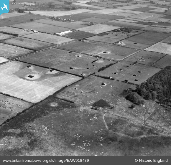
EAW018439 ENGLAND (1948). The N. W. Hempsall Ltd poultry-rearing farm and the surrounding area, Walesby, 1948. This image has been produced from a print.
© Copyright OpenStreetMap contributors and licensed by the OpenStreetMap Foundation. 2026. Cartography is licensed as CC BY-SA.
Nearby Images (8)
EAW018439

EAW018432

EAW018435

EAW018434

EAW018429

EAW018431

EAW018436

EAW018437

Details
| Title | [EAW018439] The N. W. Hempsall Ltd poultry-rearing farm and the surrounding area, Walesby, 1948. This image has been produced from a print. |
| Reference | EAW018439 |
| Date | 30-August-1948 |
| Link | |
| Place name | WALESBY |
| Parish | WALESBY |
| District | |
| Country | ENGLAND |
| Easting / Northing | 467249, 370942 |
| Longitude / Latitude | -0.9924379793157, 53.230971979594 |
| National Grid Reference | SK672709 |
Pins
Be the first to add a comment to this image!