
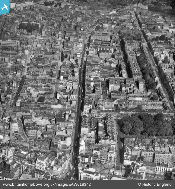
EAW018342 ENGLAND (1948). Tottenham Court Road, Bloomsbury, 1948. This image has been produced from a print.
© Copyright OpenStreetMap contributors and licensed by the OpenStreetMap Foundation. 2026. Cartography is licensed as CC BY-SA.
Nearby Images (8)
EAW018342

EAW048553

EAW018341

EPW012737

EAW000478

EPW045404

EAW000537

EPW005130

Details
| Title | [EAW018342] Tottenham Court Road, Bloomsbury, 1948. This image has been produced from a print. |
| Reference | EAW018342 |
| Date | 27-August-1948 |
| Link | |
| Place name | BLOOMSBURY |
| Parish | |
| District | |
| Country | ENGLAND |
| Easting / Northing | 529615, 181759 |
| Longitude / Latitude | -0.13164540528094, 51.519377853627 |
| National Grid Reference | TQ296818 |
Pins

Nowy Paul |
Sunday 17th of December 2017 03:02:51 PM | |
|
billyfern |
Saturday 4th of October 2014 03:09:22 PM | |
|
billyfern |
Saturday 4th of October 2014 03:09:03 PM | |
|
billyfern |
Saturday 4th of October 2014 03:08:44 PM |