
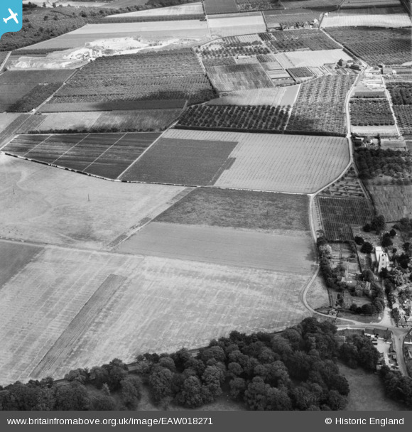
EAW018271 ENGLAND (1948). The East Malling Research Station (Horticultural) site and St James's Church, East Malling, 1948
© Copyright OpenStreetMap contributors and licensed by the OpenStreetMap Foundation. 2026. Cartography is licensed as CC BY-SA.
Nearby Images (6)
EAW018271
 site and St James's Church, East Malling, 1948")
EAW018274
 site, East Malling, 1948")
EAW019461
 site and environs, East Malling, 1948. This image has been produced from a print.")
EAW018273
 site and the village, East Malling, 1948")
EAW018272
 site and St James's Church, East Malling, 1948")
EAW019463
 site and environs, East Malling, 1948. This image has been produced from a print.")
Details
| Title | [EAW018271] The East Malling Research Station (Horticultural) site and St James's Church, East Malling, 1948 |
| Reference | EAW018271 |
| Date | 20-August-1948 |
| Link | |
| Place name | EAST MALLING |
| Parish | EAST MALLING AND LARKFIELD |
| District | |
| Country | ENGLAND |
| Easting / Northing | 570477, 157245 |
| Longitude / Latitude | 0.44507532827153, 51.28827973185 |
| National Grid Reference | TQ705572 |
Pins
Be the first to add a comment to this image!