
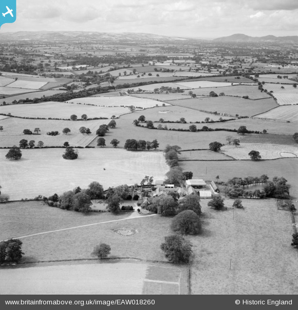
EAW018260 ENGLAND (1948). Day House and surrounding countryside, Hanwood, from the east, 1948
© Copyright OpenStreetMap contributors and licensed by the OpenStreetMap Foundation. 2026. Cartography is licensed as CC BY-SA.
Nearby Images (3)
EAW018260

EAW018261

EAW018259

Details
| Title | [EAW018260] Day House and surrounding countryside, Hanwood, from the east, 1948 |
| Reference | EAW018260 |
| Date | 23-August-1948 |
| Link | |
| Place name | HANWOOD |
| Parish | GREAT HANWOOD |
| District | |
| Country | ENGLAND |
| Easting / Northing | 346537, 310341 |
| Longitude / Latitude | -2.7910316304977, 52.68777162457 |
| National Grid Reference | SJ465103 |


