
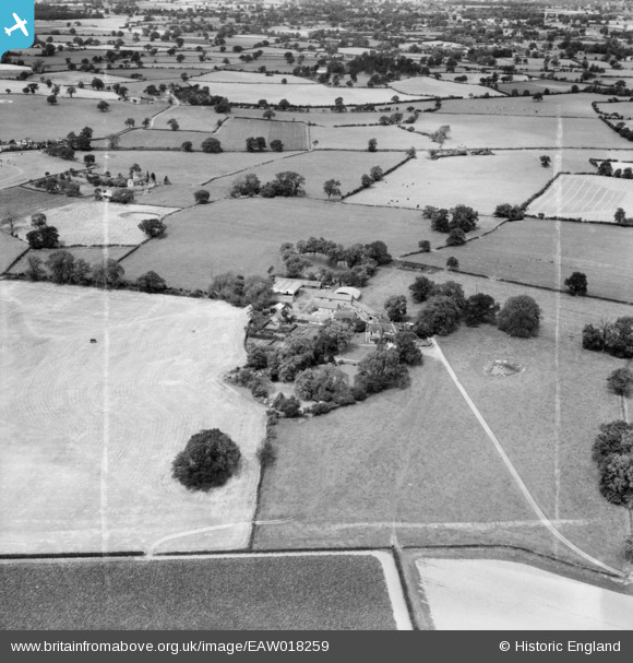
EAW018259 ENGLAND (1948). Day House and surrounding countryside, Hanwood, 1948. This image was marked by Aerofilms Ltd for photo editing.
© Copyright OpenStreetMap contributors and licensed by the OpenStreetMap Foundation. 2026. Cartography is licensed as CC BY-SA.
Nearby Images (3)
EAW018259

EAW018261

EAW018260

Details
| Title | [EAW018259] Day House and surrounding countryside, Hanwood, 1948. This image was marked by Aerofilms Ltd for photo editing. |
| Reference | EAW018259 |
| Date | 23-August-1948 |
| Link | |
| Place name | HANWOOD |
| Parish | GREAT HANWOOD |
| District | |
| Country | ENGLAND |
| Easting / Northing | 346420, 310342 |
| Longitude / Latitude | -2.792762729924, 52.687769051512 |
| National Grid Reference | SJ464103 |
Pins
Be the first to add a comment to this image!